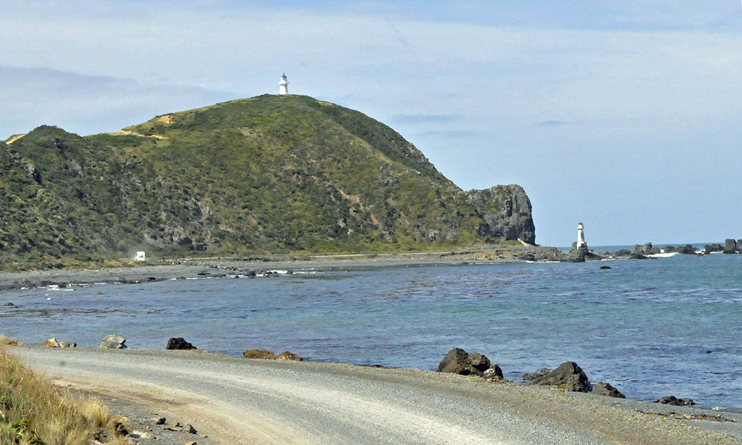
The coastline near Wellington, the capital of New Zealand, has been the site of so many shipwrecks that it is often called “Shipwreck Coast.”
Wellington lies along the western side of Wellington Harbour, a natural harbor at the southern tip of the North Island. Entrance to the harbor is through a narrow channel leading from the often-stormy waters of the Cook Strait that separates New Zealand’s two islands. In 1859, to guide ships entering the harbor, New Zealand’s first permanent lighthouse was built atop a hill on Pencarrow Head, the headland on the east side of the channel. The lighthouse was unable to prevent ships being lost in and around the channel. One of the problems was that coastal fog often obscured the lighthouse. As a result, in 1906, another lighthouse was built along the shore below the original lighthouse. In July of that same year, the S.S. Paika, a small iron screw steamer built in 1881, sank in a severe storm in view of the then-two Pencarrow Head lighthouses. The most tragic shipwreck occurred April 10, 1968, when the ferry TEV Wahine captized and sank in a severe storm at the entrance to Wellington Harbour, killing 51 of the 734 people onboard.
In 1987, the rusting hull of the S.S. Paika was recovered by the Eastbourne Historical Society and placed beside the narrow dirt road that leads to the Pencarrow Head lighthouses. A nearby plaque says that the wreckage is intended “to commemorate the lives & ships lost on this coastline.”
Shipwreck Coast is popular for divers, who can reach the remains of ships lost as long ago as 1848 and as recently as 1992. The wreck of the Paika and the original Pencarrow Head lighthouse, now maintained by the New Zealand Historic Places Trust, also attract visitors.


