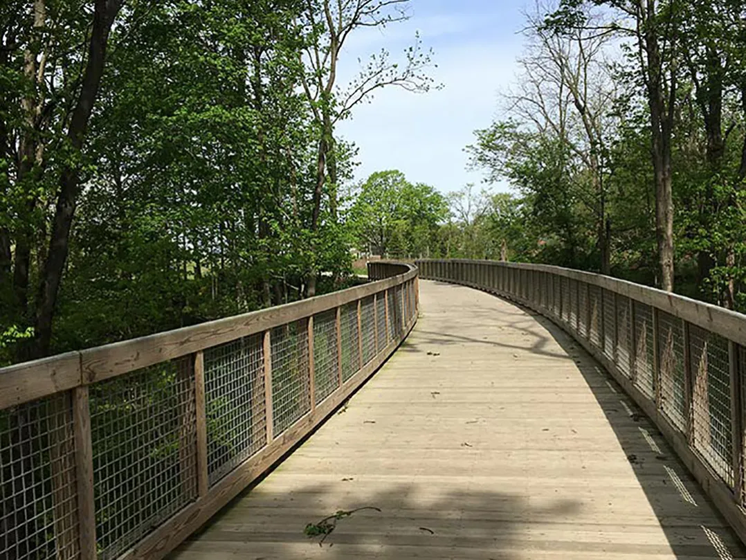
Hamilton County has launched a new online tool to help outdoor enthusiasts explore trails throughout the county.
Trail Finder provides details about trail distance, surface material and trailhead locations, making it easy to plan a hike, bike ride or nature walk
According to a news release, each parks department in the county — including Hamilton County Parks and Recreation, Carmel Clay Parks and Recreation, Fishers Parks and Recreation, Noblesville Parks and Recreation, the Town of Atlanta, the Town of Sheridan, Arcadia, Cicero Parks and Westfield Parks — collaborated with Hamilton County’s Geographic Information Systems, or GIS, team to map out every trail in Hamilton County.
In fall of 2023, Park Finder was launched as a comprehensive program that provides detailed information regarding park amenities. People can choose a park on a map and view descriptions and details, or filter to search for a type of recreation activity. Trail Finder was added to the Park Finder program to provide additional details to the public.
Joan Keene, GIS director for Hamilton County, explained the need for Trail Finder.
“Adding Trail Finder to the Park Finder tool allows us to provide even more detailed and accessible information to the public to answer all their questions about the trail systems,” Keene said. “Our goal is to make it as easy as possible for people to explore and enjoy Hamilton County.”
To access the Trail Finder/Park Finder site, visit geohub.hamiltoncounty.in.gov. The Trail Finder/Park Finder site also is accessible from the new Hamilton County Map Viewer, gis1.hamiltoncounty.in.gov/mapviewer.


